
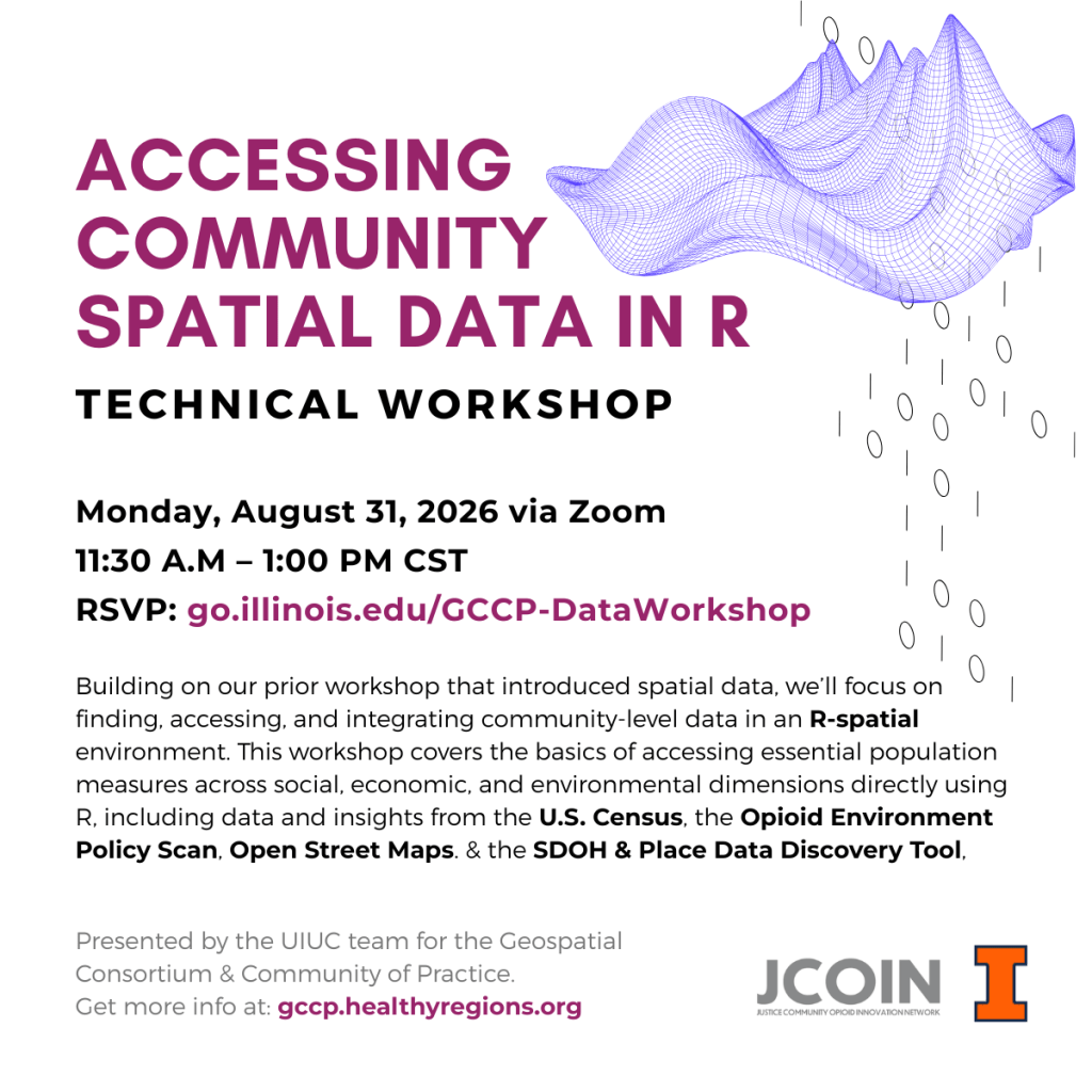
Join us for an upcoming free, technical workshop on accessing community spatial data in R. Building on our prior workshop that introduced spatial data, we’ll focus on finding, accessing, and integrating community-level data in an R-spatial environment.
Accessing Community Spatial Data in R
August 31, 2026 | 11:30 – 1:00PM CT | REGISTER by 8/29
This virtual workshop covers the basics of accessing essential population measures across social, economic, and environmental dimensions directly using R, including data and insights from the U.S. Census, the Opioid Environment Policy Scan, Open Street Maps. & the SDOH & Place Data Discovery Tool.
Prerequisites: Users should have a basic understanding of file
management and R, as well as spatial data formats. Please feel
free to review Part I (codebook and video) to be prepared for
our session.
Instructors: Marynia Kolak, Ph.D., Yilin Lyu, M.S., and Mahjabin
Kabir Adrita, M.S., University of Illinois at Urbana-Champaign
This workshop is brought to you by the Geospatial Consortium & Community of Practice (GCCP), a program of the GeoSpatial Core at the NIH0funded Methodology and Advanced Analytics Resource Center supporting the Justice Community Opioid Innovation Network


Leave a Reply