
Creating A Public Space for Georeferencing Historical Sanborn Maps
Adam Cox, MS, MLIS.
Friday, October 27th @ 12 pm CST sat the 2049 Natural History Building or on Zoom. At 1:00 pm CST, after the talk, we will also be hosting a brown bag networking session until 1:30pm.
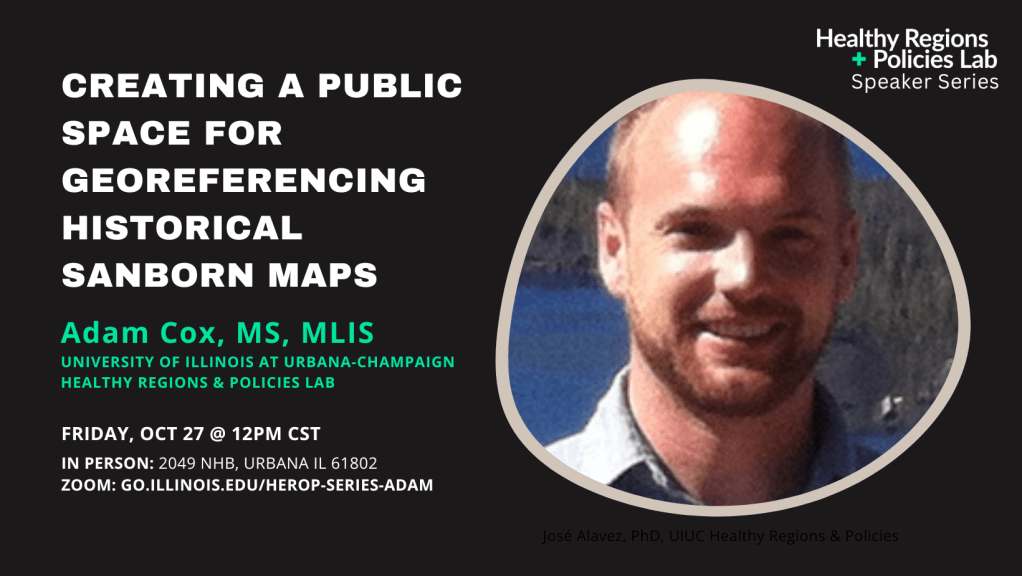
Adam Cox, MS, MLIS, will present about OldInsuranceMaps.net, a crowdsourcing platform he developed through his master’s thesis at Louisiana State University. With a structured workflow and easy-to-use browser tools, anyone can use the site to transform historical fire insurance maps into mosaicked geospatial datasets. This talk will emphasize how a team of students at the University of Richmond is currently using OldInsuranceMaps.net as part of an NIH grant aimed creating data resources to help further understand the impact of redlining and place-based systemic racism on health inequalities.

Leave a comment