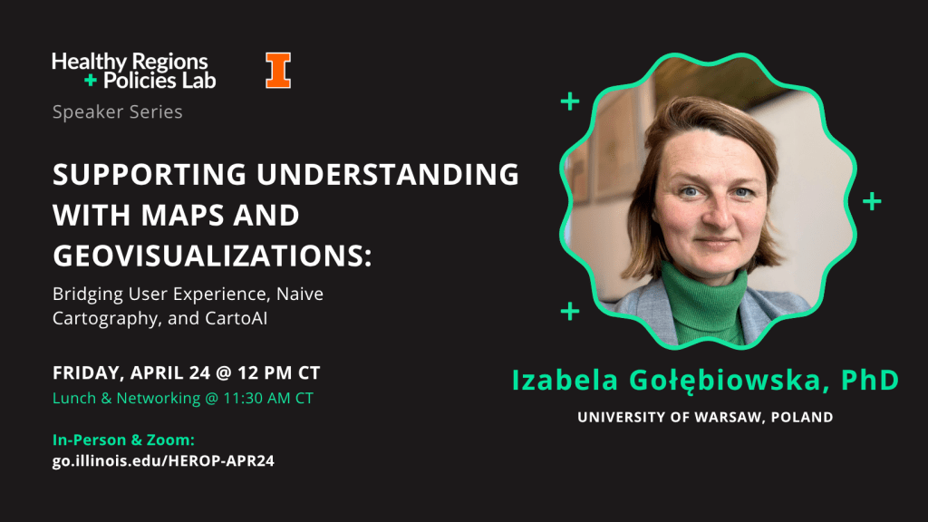
Supporting Understanding with Maps and Geovisualizations: Bridging User Experience, Naive Cartography, and CartoAI.
Join us for lunch, learning, and conversation at the next installment of the HEROP Speaker Series on Friday, April 24th, at 12 PM CT. There will be lunch and a networking session before the talk at 11:30 AM, so please join us in person a bit early to eat & mingle!
Izabela Gołębiowska, PhD,
University of Warsaw, Poland
Friday, April 24th @ 12PM CT,
via Zoom & In-Person in NHB 2049, Urbana, IL
Maps and geovisualizations are powerful tools for exploring spatial data and understanding geographic phenomena. While cartographic guidelines provide a general framework, mapmakers still retain considerable freedom in their design choices. In this context, user experience becomes a crucial factor in shaping successful visualizations. Dr. Gołębiowska will discuss a range of empirical studies involving map users, addressing the challenges of naïve cartography and CartoAI.
In line with well-established usability engineering practices—also within cartography—the performance metrics of effectiveness and efficiency have become standard in empirical studies on maps and geovisualizations, although they are often complemented by additional methods. Unlike these objective measures, satisfaction reflects users’ subjective opinions and preferences, offering a different perspective. Notably, subjective evaluations and objective performance metrics often do not align. This discrepancy is a key aspect of naïve cartography, particularly when communicating geovisualizations to inexperienced users, who may favor familiar solutions that are not necessarily optimal for their performance.
With the growing importance of prompt cartography and AI-supported tools for map generation, it is essential to remain aware of the potential mismatch between objective and subjective usability metrics. Failing to account for this may reduce the diversity and quality of design choices and, ultimately, lead to a decline in graphicacy. Dr. Gołębiowska will present collaborative studies aimed at ensuring the high quality and credibility of CartoAI products.
About the Speaker
Izabela Gołębiowska, PhD
Izabela Gołębiowska is an Associate Professor with the Department of Geoinformatics, Cartography and Remote Sensing, Faculty of Geography and Regional Studies at the University of Warsaw, Poland. She received the PhD degree in cartography from the University of Warsaw in 2011. She is particularly interested in the user perspective and factors driving maps’ and geovisualization success as tools for informed-decisions. She explores topics on (un)successful color use in information visualization, geodashboard interface design and is interested in capabilities of genAI in thematic cartography design and trust building. She has been also involved in utilizing GIS and geovisualizations within other fields, such as planetary geology and analog Mars simulation.
In-person or Virtual?
The in-person option is open the University of Illinois community (students, staff, and faculty). We will have lunch for all attendees who RSVP by Wednesday @ 10 AM CT before the event. Lunch will be served at 11:30 AM (details below). To register for the in-person option, please access the following link: go.illinois.edu/HEROP-APR24
A virtual option via Zoom is available for the public. The Zoom will open at 12 PM CT near the start of the talk. To register for the Zoom option, please access the following link: go.illinois.edu/HEROP-ZOOM-APR24
Lunch & Networking Session @ 11:30 AM CT
There will be a catered lunch hour before the talk, starting at 11:30 AM CT in the same location as the Talk (NHB 2049). Enjoy lunch with colleagues, mingle, and get a chance to meet the speaker. If you are planning to attend, let us know you’re coming—along with any dietary restrictions—when you RSVP for the in-person talk! The talk itself will begin at 12 PM CT.
About the Series
The HEROP Speaker Series connects scholars, experts, and innovative thinkers to discuss different conceptual, methodological, and technological facets of public health to better understand the social determinants of health, and how place may influence outcomes. The Healthy Regions & Policies (HEROP) Lab integrates innovative GIScience, public health, and statistical approaches to explore, understand, and promote healthy places. We’re experts in the spatial & social determinants of health. We’re based out of the Dept of Geography & GIScience at the University of Illinois at Urbana-Champaign.

Leave a comment